SIGINT for Non-cooperative Maritime asset tracking
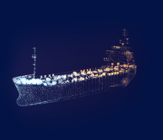
Ships are tracked around the world via their AIS transponders. These transponders are cooperative. They only function if turned on, and/or not spoofed.

There are other ways to track maritime traffic by their RF emissions; datalinks and radars; even if their AIS transponders are turned off or transmitting incorrect location data. These vessles can either be tracked by aircraft and/or satellites.
550,000
ships being tracked by AIS at any one time
25,000
ships who have turned off their AIS for some reason
99%
of those ships who are still emitting some type of RF signal
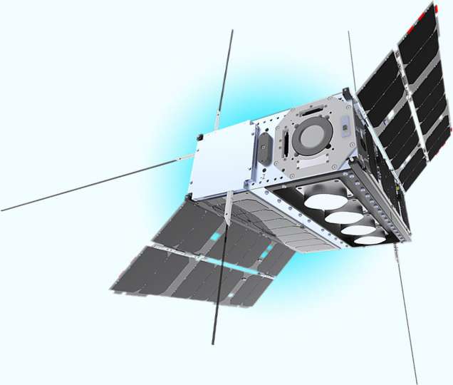
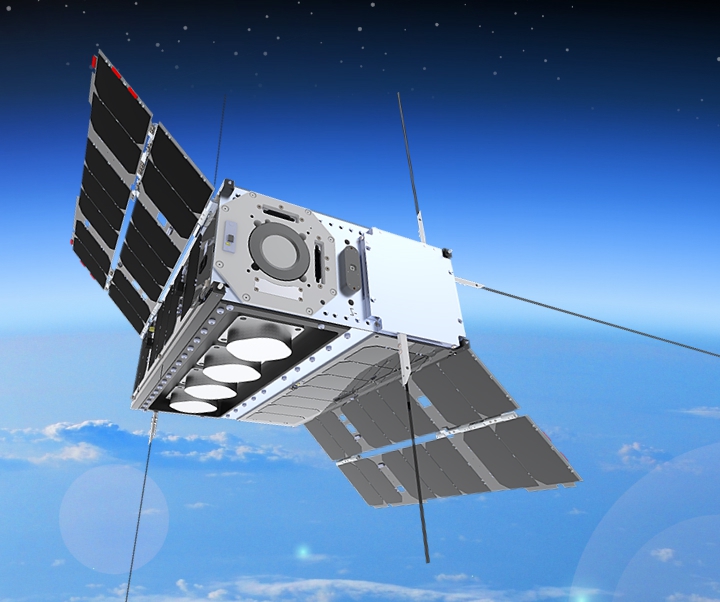
Amber™ data will allow companies and governments to track and geolocate vessels in near real time.
In addition, any suspect Sat Phone calls at sea without a corresponding AIS ping can be used to warn vessels of the presence of potential pirates.


